If you are thinking about or will be climbing Mount Kilimanjaro then add these two items to your tools to climb and conquer Mount Kilimanjaro!

Mount Kilimanjaro, Tanzania GPS Map Download for Garmin Devices
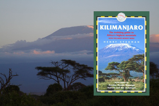
We think this comment about says it all about the Mount Kilimanjaro GPS map...
"Thanks for your map, Aaron, which I’ve been studying over the weekend and enjoyed very much. The contoured base map is beautiful and I like the way I can superimpose my own tracks on top – really great. I’m impressed with the map, and will be mentioning it in the next edition of the book, as well as online."
The Mount Kilimanjaro GPS topographic map of Kilimanjaro available for your Garmin GPS device offers you greatly improved detail for your climb. The contours are spaced 20 meters apart for the entire mountain, allowing you to view the terrain while making your way to the summit.
In addition to the contours of the mountain, other geographic features are included in the map. Park boundaries for Kilimanjaro and Urusha National Parks, hiking routes to the summit, national and local roads, rivers and streams, lakes and wetlands, airports, campsites, and many more. This map is continually being upgraded to provide the best GPS map for the area.
Mt Kilimanjaro GPS Map Update History
v 1.9 | February 2012
- Added roads in Arusha.
- Added Arusha National Park.
- Improved Navigation and Searching.
v 1.8 | July 2009
- Added auto-routing to a new Routable/Navigable version of the map.
- Improved road and trail geometry throughout the map.
- Added & Improved POI's around the mountain and in Moshi.
v 1.7 | May 2009
- Added additional POI's on mountains.
- Added Meru peak trails.
v 1.6 | September 2008
- Added additional local streets in Moshi.
- Added POI's on mountain.
- Updated railroads.
- Updated lakes.

v 1.5 | January 2008
- Updated highways.
- Updated streets.
- Updated lakes.
- Updated POIs.
- Updated railroads.
- Updated rivers.
v 1.4 | September 2007
- Improved contours around the summit of Mount Kilimanjaro.
v 1.3 | May 2007
- Added Moshi POIs (schools, restuarants, civil buildings, stores, hotels, etc.)
- Adjusted Moshi urban area.
- Adjusted Moshi airport boundary.
- Added Moshi golf course polygon.
- Added Moshi cemetary polygon.
v 1.2 | March 2007
- Added Moshi local roads w/ street names.
- Improved general accuracy.
v 1.1 | February 2007
- Updated international border.
- Added provincial border.
- Updated lakes.
- Added Wetlands and swamps.
- Added additional local roads.
- Added additional points of interest.
- Added glacier.
- Added rivers.
- Added streams.
- Added railroads.
- Added urban area around Moshi.
- Updated intermediate contours.
- Improved route accuracy.
v 1.0 | January 2007
- Added International border between Tanzania and Kenya.
- Added more roads to surrounding area.
- Changed road details and levels.
- Added some lakes to map.
v 0.9 beta | December 2006
- Added park boundaries.
- Added routes to summit.
- Added roads around mountain.
- Added points of interest around mountain.
- Added campsites and other locations on mountain.
- Added airports.
- Added local towns.
- Changed contour interval from 10m to 20m to decrease file size.
- Changed map from transparent to standard GPS map.
v 0.8 beta | August 2006
- Created original transparent contour map without other details at 10m intervals.
No comments:
Post a Comment